")
The weather seems to have changed its mood again, keeping in line with the recent unseasonal patterns.
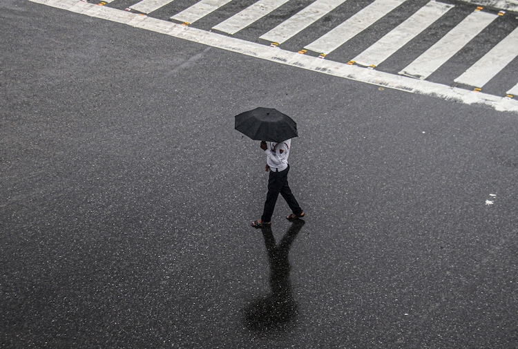
Just days after the summer heat had begun to build across the country, Delhi is witnessing light showers in certain regions.
Furthermore, forecasts now show a possibility of light and brief rains in regions across neighbouring states.
Isolated thunderstorms are expected in parts of north India on April 17 as a weak weather system develops over Punjab and west Haryana.
Meteorologists forecast moderate rains, thundershowers, and gusty winds of 30–50 kmph in 20–30% of Punjab, Haryana, and Delhi-NCR during the late afternoon and evening. The activity may spread to west Uttar Pradesh later.
Satellite images show cloud bands shifting eastward toward Lahore and New Delhi, and illustrating yet another western disturbance that has arrived in the region and brought with itself some relief from rising temperatures.
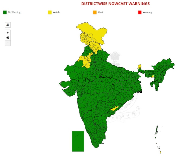
Around 70% of the region, however, will remain dry and showers will provide only short-lived cooling after a hot afternoon, with temperatures likely to rebound the following day.
People in affected areas should stay alert for sudden gusts and lightning, while most places brace for ongoing warm weather.
WHY IS THE WEATHER CHANGING AGAIN?
This patchy activity comes from a mild western disturbance. These systems form over distant areas like the Mediterranean Sea and move eastward, bringing moisture that triggers clouds, rain, and storms in northern India. They are more common in winter but have appeared several times this April, creating a mix of wet and dry spells.
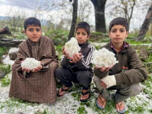
North India experienced multiple western disturbances in early April 2026. These brought widespread rain, thunderstorms, hail, and gusty winds across Punjab, Haryana, Delhi-NCR, and Uttar Pradesh.
The spells temporarily lowered temperatures, giving some of the coolest April days in recent years. However, hail and heavy rain damaged standing wheat crops in many parts of the plains.

RECENT RISE IN HEAT
As these systems moved away since the past week, clear skies have caused the temperatures to rise quickly.
According to the latest IMD updates, maximum temperatures reached 39C-41C by April 16 in several areas, with many places expected to touch 40C-42C around April 17. Delhi, on April 16, saw sweltering heat. The national capital’s primary weather station recorded a maximum temperature of 40.3 degrees Celsius, 3.5 degrees above normal.
The IMD also predicted a gradual rise of 2C-3C in maximum temperatures over Punjab, Haryana, and nearby regions in the coming days.
And now the capital has been blessed with short-lived but much-needed relief.

No significant change is forecast for northwest India overall during the next week, but heat will build in the absence of major rain.
Another weak disturbance, however, may follow between April 18 and 19, but no major widespread rain is expected soon in the plains.
Summer heat will persist in most areas, with residents advised to follow official IMD updates as the weather shifts from recent wet spells to steadily building warmth.


