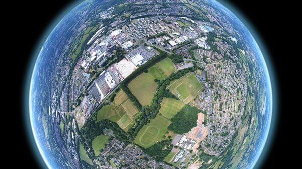
Google Earth AI Gets Smarter with Gemini Integration
Google is supercharging its Earth platform with advanced Gemini AI, enabling real-time analysis of floods, droughts, and other environmental threats to aid disaster response and save lives.
Key Takeaways
- Gemini AI now powers geospatial reasoning in Google Earth.
- Tools help predict floods, wildfires, and droughts for better preparedness.
- Already used by organizations like WHO and World Vision for crisis response.
- Initially available for Google Earth Professional users and Google Cloud customers.
Google’s Gemini AI models leverage advanced geospatial artificial intelligence to help communities prepare for and respond to disasters. The company states its tools have already assisted millions in making life-saving decisions. During the 2025 California wildfires, for instance, Google Maps and crisis alerts reached 15 million people in Los Angeles, directing them to shelters and safe routes.
“Our flood forecasting now reaches more than two billion people worldwide,” Google said. “It helps organisations like World Vision deliver food and clean water to communities when they need it most.”
Geospatial Reasoning: Connecting Data for Deeper Insights
A new feature called Geospatial Reasoning uses Gemini AI to link diverse data sources—including weather forecasts, population maps, and satellite imagery—providing a comprehensive view of complex situations.
Organizations can now identify not just where a storm is headed, but which communities are most vulnerable and what infrastructure could be affected. The non-profit GiveDirectly, for example, combines flood and population data to pinpoint areas needing urgent aid. Google is currently inviting social impact organizations to apply as Trusted Testers for early access.
Smarter Analysis in Google Earth
Earth AI’s deeper integration into Google Earth enables instant satellite imagery analysis and pattern recognition. Water companies can monitor drying rivers to warn communities about dust storm risks, while authorities can track algae blooms in drinking water supplies before they become hazardous.
These capabilities will first roll out to Google Earth Professional and Professional Advanced users in the US, with Google AI Pro and Ultra subscribers receiving higher usage limits.
Earth AI Expands to Google Cloud
Google is making its Earth AI models for imagery, population, and environmental data available on Google Cloud. This allows businesses to combine their proprietary data with Google’s models, creating new opportunities for environmental monitoring, crisis response, and complex problem-solving.
Real-World Applications Already Underway
Earth AI is already delivering impact globally:
- WHO Africa predicts cholera outbreaks in the Democratic Republic of Congo, aiding water, sanitation, and vaccination planning.
- Satellite companies like Planet and Airbus track deforestation and monitor vegetation near power lines to prevent outages.
- Bellwether, an Alphabet X initiative, provides hurricane predictions to insurance broker McGill and Partners, speeding up claims processing for homeowners.


