")
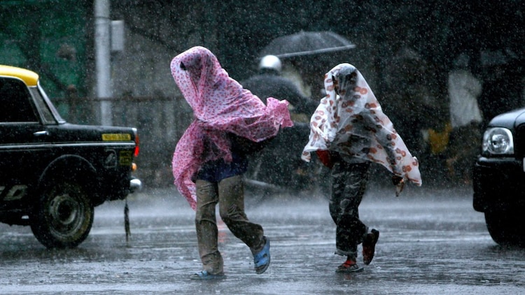
Active western disturbances are currently sweeping across the country, bringing a mix of hailstorms, heavy rain, and a temporary reprieve from the summer heat.
While the Pacific Ocean is seeing a gradual shift towards El Nino conditions, the immediate forecast for April 5 suggests a turbulent Sunday for several Indian states.
HOW WILL THE WEATHER BE IN NORTHWEST INDIA TOMORROW?
The influence of a potent western disturbance will continue to trigger rainfall and thunderstorms across the region.
Residents in Jammu and Kashmir, Ladakh, and Himachal Pradesh should prepare for persistent wet spells, with the weather office predicting isolated heavy rainfall in the Kashmir valley.

There is also a high probability of isolated hailstorms in parts of Himachal Pradesh and Uttarakhand.
In the plains, Punjab, Haryana, and West Uttar Pradesh are likely to witness gusty winds reaching speeds of 40 to 50 kilometres per hour along with light to moderate rain.
WILL IT RAIN IN CENTRAL AND EAST INDIA?
A weather system running from southeast Madhya Pradesh to south Tamil Nadu is funnelling moisture into the heart of the country.
This will likely result in thunderstorms and lightning over Madhya Pradesh, Vidarbha, and Chhattisgarh.
East India is also on alert, with Jharkhand and West Bengal expected to see increased cloud cover and sporadic showers.
These pre-monsoon activities are providing a necessary shield against early heatwaves, keeping temperatures near or below the normal mark for this time of year.
WHAT IS THE TEMPERATURE OUTLOOK FOR SOUTH INDIA?
While the north deals with rain, parts of the south remain warm but stable.
Hot and humid weather will persist over coastal Andhra Pradesh, Rayalaseema, and Tamil Nadu.

However, interior Karnataka, which recently recorded heavy rainfall of up to 11 centimetres, may see continued isolated showers.
Across the country, the maximum temperatures are likely to hover between 36 and 38 degrees Celsius in the plains, which is relatively comfortable for early April.
Forecasts suggest this trend of suppressed heat will continue for the next seven days as successive disturbances move in.


