")
The India Meteorological Department has forecast an active spell of weather across large parts of the country this week, driven by the influence of two western disturbances and multiple interacting systems.
According to the latest update, widespread rainfall, thunderstorms, gusty winds and hailstorms are likely to affect several regions between March 30 and April 5.
The weather office said the peak intensity of this wet spell is expected on March 30 and April 4. Under the influence of these systems, isolated heavy rainfall is likely over the Kashmir Valley, while hailstorms are forecast across northwest India on March 30 and over central and eastern India on March 31.
Rainfall activity is also expected to intensify over northeastern and eastern India between March 31 and April 1, with heavy rain likely in several areas. At the same time, southern states will continue to experience thunderstorms accompanied by lightning and gusty winds throughout the week.
Kerala is likely to receive particularly heavy rainfall on March 31 and April 1, the IMD said.
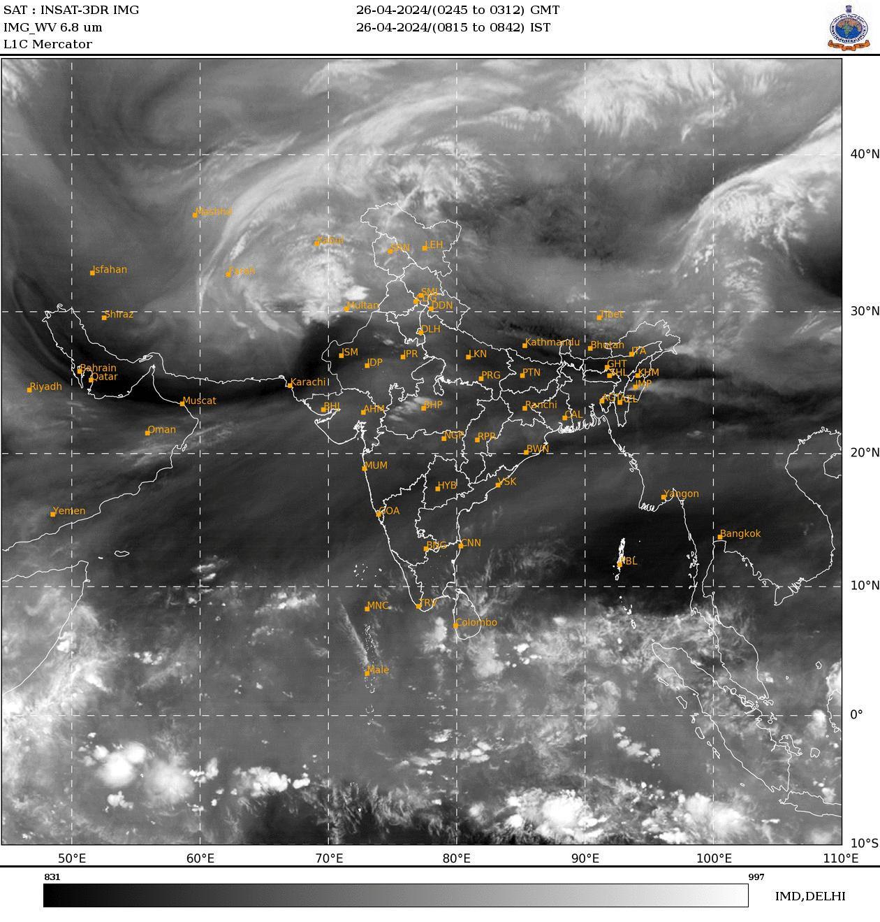
The IMD attributed this widespread activity to a complex interaction of meteorological systems. A western disturbance currently lies across parts of north Pakistan and adjoining regions, extending from lower to upper atmospheric levels.
In addition, cyclonic circulations over Punjab and northwest Uttar Pradesh, along with multiple troughs stretching across central and eastern India, are drawing moisture from both the Arabian Sea and the Bay of Bengal.
Over peninsular India, a trough in easterlies and a wind discontinuity line extending from Vidarbha to Tamil Nadu are further enhancing instability, leading to thunderstorm development.
Another cyclonic circulation over northeast Assam and an east-west trough across eastern India are contributing to heavy rainfall over the region.
In the past 24 hours, heavy rainfall was recorded over parts of Kerala, while hailstorms were reported from Haryana, west Madhya Pradesh and Madhya Maharashtra.
Thunderstorms with gusty winds reaching 30-50 kmph were observed across several regions, including northeast and peninsular India.
Temperature trends are also expected to fluctuate. Maximum temperatures over northwest India may drop by 2-4°C initially, rise again by up to 5°C by April 3, and fall once more under the influence of another incoming western disturbance.
The IMD has advised residents to remain alert, as thunderstorms, lightning and hailstorms could cause localised disruptions in the coming days.

