Key Takeaways
- Delhi-NCR experienced rare, intense winter rain and hail on Monday morning.
- The India Meteorological Department (IMD) blames an active Western Disturbance.
- Traffic was severely disrupted due to waterlogging during rush hour.
- Maximum temperatures are expected to drop by 3-5°C across Northwest India.
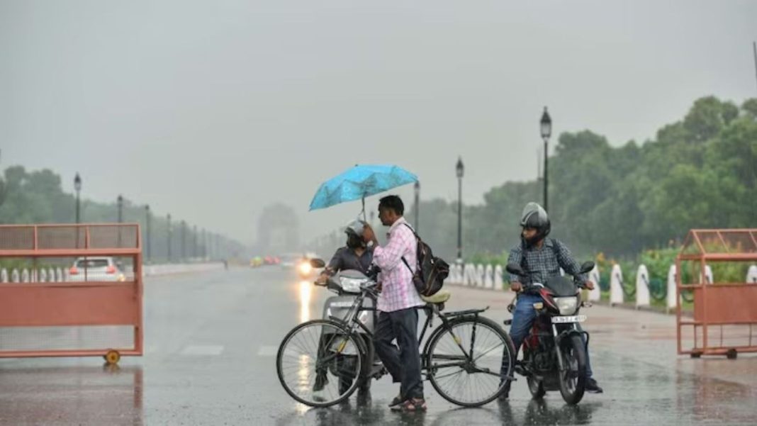
Delhi, along with Noida and Ghaziabad, was hit by intense rain and hail on Monday morning, a highly unusual weather event for late January. The downpour caused major traffic disruptions and a sharp drop in temperature across the national capital region.
The India Meteorological Department (IMD) has attributed this unexpected weather to a Western Disturbance—a cyclonic storm originating from the Mediterranean—currently affecting northwest India.
What is a Western Disturbance?
The IMD explained that the system is active as a trough in the middle tropospheric westerlies, with its induced cyclonic circulation lying over southwest Rajasthan and nearby areas.
IMD Forecast and Warnings
In its official forecast, the IMD stated: “Under the influence of these systems: Light to moderate rainfall/snowfall very likely at many places over Western Himalayan Region and at isolated places over Punjab, Haryana, Chandigarh & Delhi, West Uttar Pradesh and north Rajasthan during 27th-28th January.”
The agency has also predicted a significant drop in maximum temperatures by 3 to 5 degrees Celsius over many parts of Northwest India in the next 48 hours.
Impact on Delhi-NCR
The sudden morning rain led to immediate waterlogging in several low-lying areas, creating long traffic snarls during the peak rush hour. Commuters reported major delays as vehicles navigated slowly through flooded streets.
While the rain provided temporary relief from air pollution, it marks a departure from the region’s typical dry and cold January weather pattern, raising questions about changing winter trends.


