")
Rain or shine, India is set for a dramatic weather shift as a fresh western disturbance begins its journey across the northwest.
While much of the country has been grappling with fluctuating temperatures, the India Meteorological Department (IMD) has issued a comprehensive forecast for April 2, 2026, indicating a significant wet spell on the horizon.
WILL IT RAIN IN YOUR CITY TOMORROW?
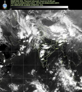
Tomorrow, the weather map shows a complex interplay of systems.
A fresh western disturbance is expected to start affecting northwest India, bringing scattered light to moderate rainfall and thunderstorms to regions including West Rajasthan.
Residents in Punjab, Haryana, and Delhi should also prepare for isolated rain and thunderstorms as the system builds momentum.
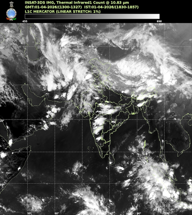
The northeast is not far behind, with fairly widespread light to moderate rainfall, lightning, and gusty winds predicted for Assam, Meghalaya, Nagaland, Manipur, Mizoram, and Tripura.
Down south, the coastal pockets of Andhra Pradesh and Tamil Nadu might see scattered rain, while hot and humid conditions will persist in isolated areas of Kerala and Odisha.
HOW WILL TEMPERATURES CHANGE ACROSS THE STATES?
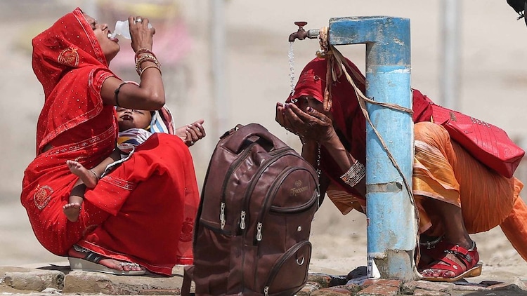
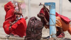
The heat may feel a bit more intense in the northwest initially.
Maximum temperatures are likely to rise by two to four degrees Celsius in northwest India until April 2.
However, do not get too comfortable with the Sun; a gradual fall of two to four degrees Celsius is expected immediately after on April 3 and 4 as the rain activity peaks.
Central India will also see a slight dip of two to three degrees Celsius over the next few days.
Meanwhile, the eastern parts of the country are looking at a more substantial rise in day temperatures, potentially jumping by four to six degrees Celsius through April 4.
In Maharashtra and Gujarat, temperatures are expected to fall gradually by two to four degrees Celsius as the week progresses.

